 |
 |
 |
|
X
Tahitian Village, Bastrop, TX, Land For Sale
Tahitian Village, Bastrop, TX, Land For Sale
Tahitian Village, Bastrop, TX, Land For Sale
Tahitian Village, Bastrop, TX, Land For Sale
Tahitian Village, Bastrop, TX, Land For Sale
Tahitian Village, Bastrop, TX, Land For Sale

Lat and Long for Map: 30.6177520, -104.8101478
Lat and Long for Map: 30.6177520, -104.8101478
|
|
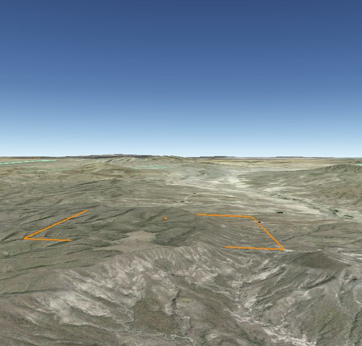
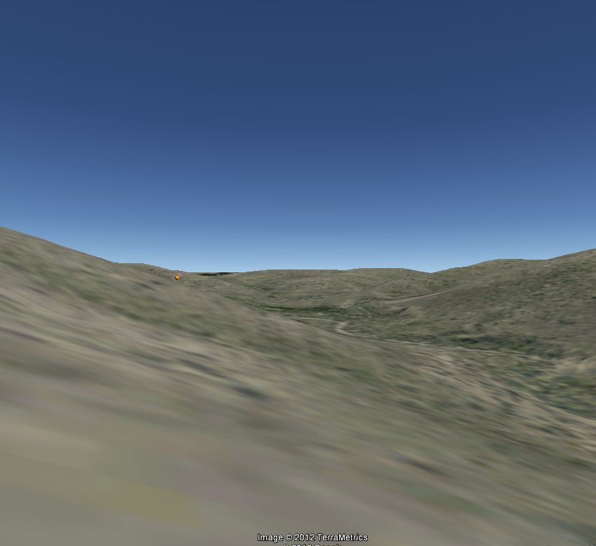
Size: 30 Acre |
 |
Survey Name TC RR CO
Block Number
Survey Number 626 |
|
|
City: |
Fort Davis |
County: |
Jeff Davis |
|
Taxes |

Taxes are $40 Per Year
|
POA: |
None |
|
JEFF DAVIS COUNTY. Jeff Davis County, in the
Trans-Pecos region of west Texas, is bordered by Culberson County to the
northwest, Reeves and Pecos counties to the northeast, Brewster County
to the southeast, and Presidio County to the southwest; the westernmost
point of Jeff Davis County touches the Rio Grande. Fort Davis, the
county seat and largest town, is 175 miles southeast of El Paso in
southeastern Jeff Davis County. The county's center is about twenty
miles northwest of Fort Davis at approximately 30°45' north latitude and
104°10' west longitude. Interstate Highway 10, U.S. Highway 80, and the
Union Pacific Railroad cross the northern tip of Jeff Davis County, and
U.S. Highway 90 and the Southern Pacific Railroad cross the western part
of the county. State Highway 17 runs from north to south through eastern
Jeff Davis County, and State Highway 118 runs from northwest to
southeast across the central part of the county. Jeff Davis County
comprises 2,258 square miles, varying from mountainous to nearly level,
with elevations ranging from 3,800 to 8,378 feet above sea level; the
latter, at the top of Mount Livermore, is the fifth highest elevation in
the state. Jeff Davis County is in the Rio Grande basin. Soils in this
predominantly mountainous county are generally thin and stony; in the
valleys dark loams overlie clayey subsoils. Vegetation in the county
includes scrub brush, cacti, grasses, live oak, piñon, and juniper, with
Douglas fir, aspen, maple, ponderosa pine, and madrone at the higher
elevations. Among the animals found (and hunted) in the county are mule
deer, white-tailed deer, pronghorn antelope, mountain lion, javelina,
elk, coyote, bobcat, ringtailed cat, badger, fox, weasel, civet cat,
raccoon, skunk, sandhill crane, jacksnipe, mourning dove, white-winged
dove, and teal. Several animals considered rare or endangered in Texas
are found in Jeff Davis County, including the silver-haired bat,
shorthorn lizard, Steller's jay, Clark's nutcracker, and band-tailed
pigeon. Mineral resources include barite, kaolin clay, lead, limestone,
manganese, rhyolite, silver, fluorspar, and zeolite. The climate is
subtropical-arid. The average minimum temperature in January is 32° F,
and the average maximum temperature in July is 90°. The growing season
averages 225 days a year, and the average annual precipitation is
eighteen inches. |
|
|
|
 |
|
 |
|